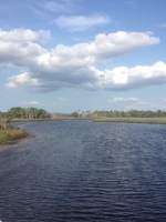
What does Old Florida in Cedar Key mean to you?
We’re inviting residents of the Cedar Key and Rosewood communities, and visitors to Cedar Key, to share “What does Old Florida in Cedar Key mean to you?” Let us know in photos, drawings, or words! Submissions will become part of a community exhibit and contribute to qualitative research on the importance of cultural heritage and working waterfronts in small Gulf coast communities.
Two ways to participate by November 16, 2025
- To submit your original photo:
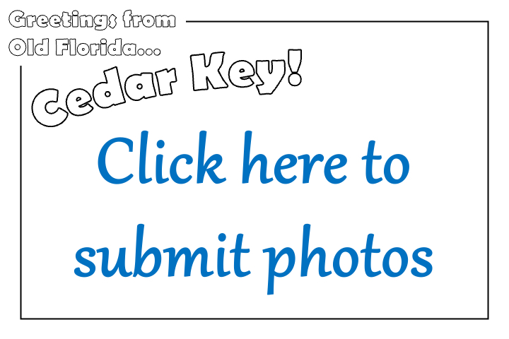
2. To submit a drawing and words – Look for these postcards around Cedar Key, with drop boxes at:
- Cedar Key Historical Society Museum
- Cedar Key Public Library
- Cedar Key Chamber of Commerce
- The Island Hotel
- More locations coming soon


About the Project
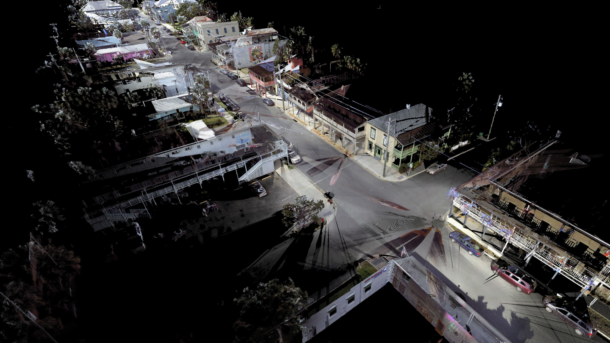
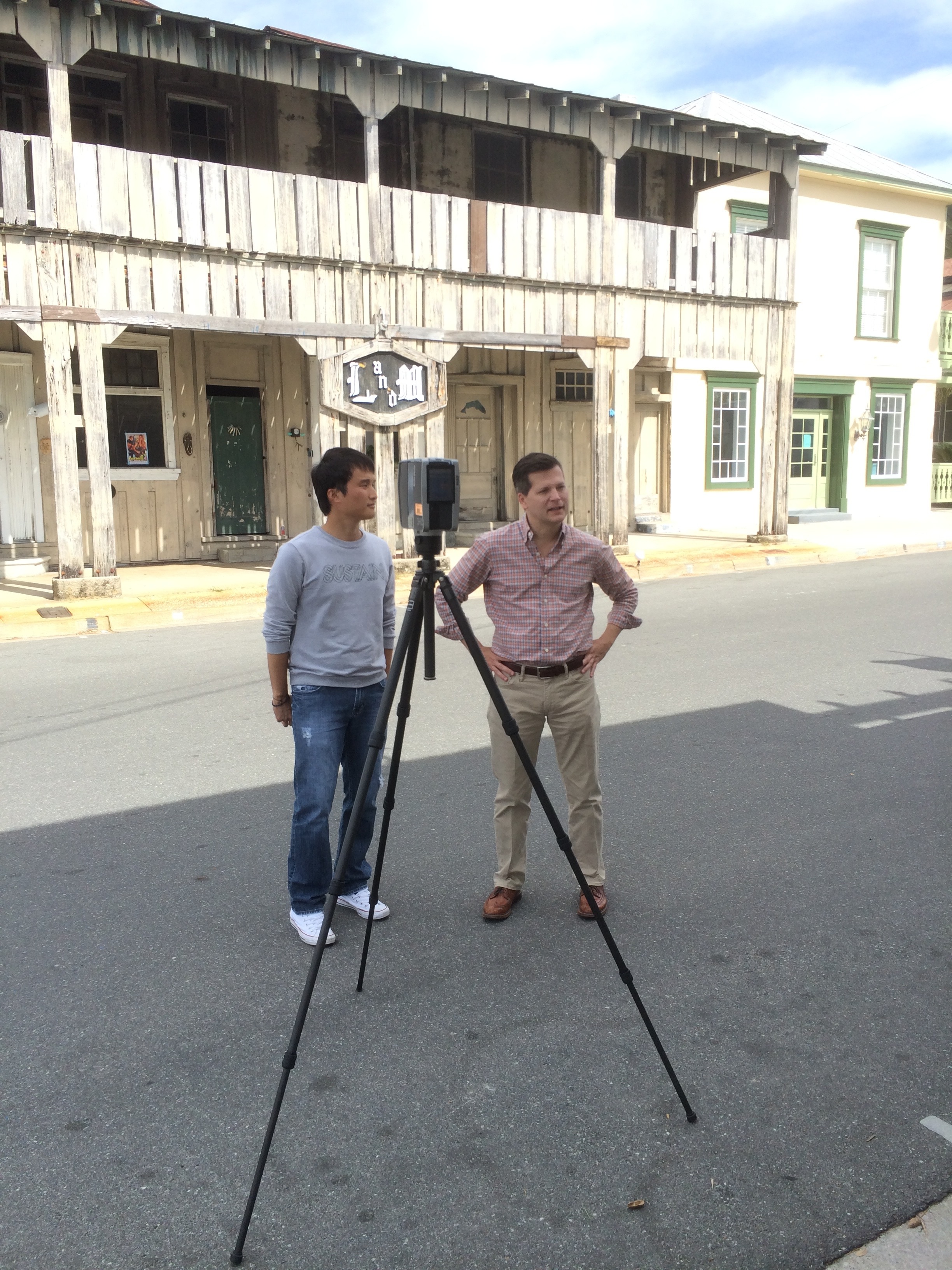
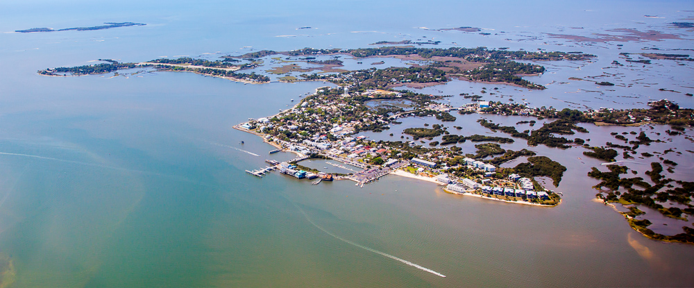
This one-year University of Florida participatory project conducted in partnership with local communities explores how “Old Florida” is defined, maintained, and appreciated as an asset for small Gulf communities. Cedar Key is a centerpiece because of its unique island heritage and long history of adaptation.
Why Now in Cedar Key
Cedar Key was named to the National Trust for Historic Preservation’s 2025 list of America’s 11 Most Endangered Historic Places, while facing recovery from three hurricanes and the Dock Street fire. These events create an opportunity for community dialogue about the significance of Cedar Key’s heritage for its future.
Our Focus Together
We are working with Cedar Key civic and business leaders and residents to document narratives of Old Florida in Cedar Key – the stories and values that matter most to the community. These narratives may differ, overlap, or reveal new directions. By bringing them together, we aim to create:
- A celebratory exhibit of what Old Florida means in Cedar Key.
- A report documenting community perspectives.
- A tool for dialogue across different visions.
- A resource for planning, preservation, and future grant funding.
How We’ll Work
The process and outputs are flexible. We are co-designing the objectives and engagement with the Cedar Key community so the project reflects Cedar Key’s priorities and provides value.
Timeline
- Fall 2025: Community engagement led by a UF graduate class taught by Dr. Frank.
- Spring 2026: Draft exhibit, report, and discussion with leaders.
- Summer 2026: Exhibit and final report shaped by community input and linked to broader findings of small Gulf communities.
| UF Project Team: Dr. Cleary Larkin, Historic Preservation – Principal Investigator Dr. Kathryn Frank, Urban & Regional Planning – Community Engagement class Dr. Nicholas Serrano & Prof. Kyle Dost, Landscape Architecture – Gulf communities |